


Directions and surroundings
On your GPS
Locality Struthof
67130 NATZWILLER
Coordinates 48.45370, 7.24970
How to get to the Natzweiler-Struthof Memorial
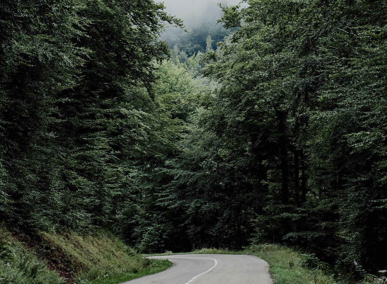
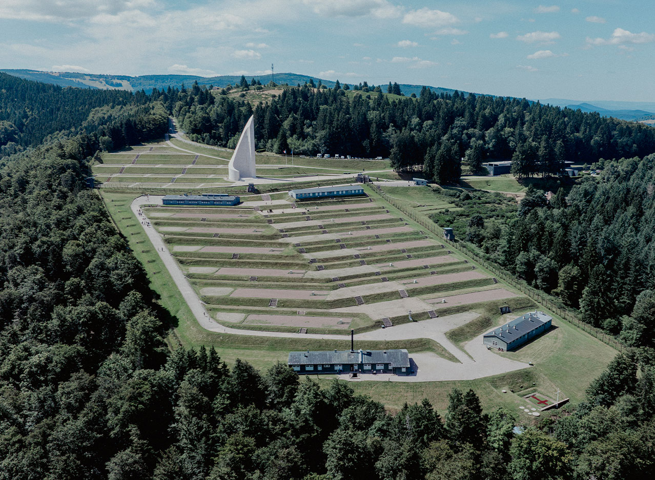
The Memorial is situated in the mountains and is isolated, so it is essential to travel by car to get there.
However, the more adventurous can opt to walk from Rothau, following the chemin des déportés (path of the deportees) trail, or come by bike.

Access and driving conditions in winter
Located at an altitude of 800 metres, it is mandatory to equip your vehicle with winter tyres or to carry snow chains or snow socks between 1 November and 31 March. More information about the regulations.
By car
By motorway, the memorial is approximately:
• 1 hour from Strasbourg (via Schirmeck)
• 1 hour from Colmar
• 1 and a half hours from Mulhouse
Parking is available near the European Centre of Deported Resistance Members and the entrance to the former concentration camp.
Another car park is located near the gas chamber.
By bike
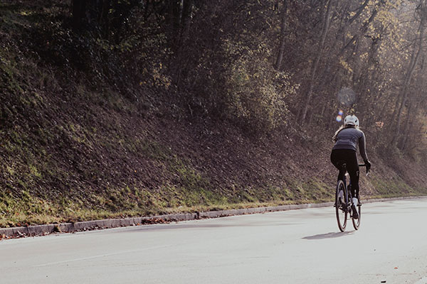
The Bruche Valley Tourist Office, located in Schirmeck, offers electric bikes for hire. All the information can be found on their website.
There are parking spaces for bicycles in the motorcycle parking area, near the main car park.
Tourist Office – Natzweiler-Struthof Memorial: 10 km/6 mi
Rothau train station – Natzweiler-Struthof Memorial: 6 km/3 mi
By train
The nearest train stations to the Memorial are Rothau and Schirmeck, both served from Strasbourg.
As the site is located at altitude, a car remains the most suitable means of transport to reach the Memorial from the stations.
From Schirmeck station, a Citiz self-service car rental station is available to make your journey easier (subject to availability).
The surrounding area to explore
Check out all the tourist attractions in the area on the Bruche Valley Tourist Office website.

The history of global conflicts in Alsace
Alsace-Moselle Memorial
10 km, 15 minutes by car
National Necropolis at Donon (1914-1918)
20 km, 26 minutes by car
Mutzig Fort
30 km, 30 minutes by car
Bergheim German War Cemetery
50 km, 55 minutes by car
Memorial Museum of the Rhine Maginot Line
58 km, 1 hour by car
National Necropolis of Sigolsheim
60 km, 1 hour by car
Memorial Museum of the Liberation of the Colmar Pocket
68 km, 1 hour by car
Linge Memorial
76 km, 1 hour by car
Niederbronn German war cemetery
94 km, 1 hour by car
Walbourg Memorial Museum 1870–1945
95 km, 1 hour by car
Fort Schœnenbourg – Entrance to the Maginot Line
105 km, 1 hour by car
Hatten Shelter Museum
110 km, 1 hour by car
Hartmannswillerkopf
113 km, 2h30 en voiture

Historical hiking trails to discover in the surrounding area
Chemin de la mémoire et des Droits de l’Homme
“Trail of Remembrance and Human Rights”
This path connects the Alsace-Moselle Memorial in Schirmeck to the Natzweiler-Struthof Concentration Camp Memorial.
Chemin des passeurs
“Smugglers’ trail”
It also links Salm (La Broque) to Moussey. During the Second World War, when this area became a border, smugglers and guides used this route to reach Free France.